Maps, Books & DVDs Products
-
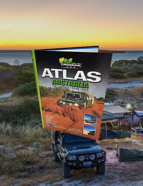
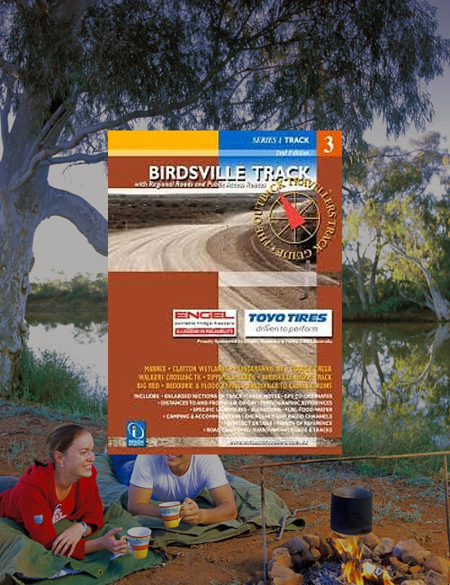
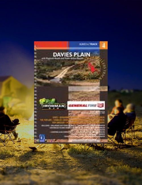
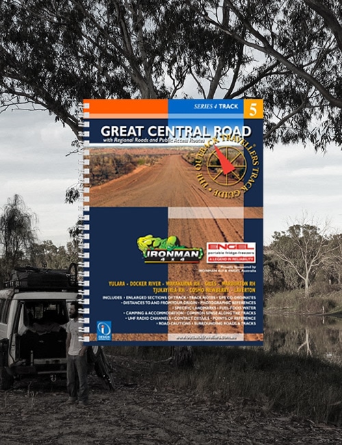
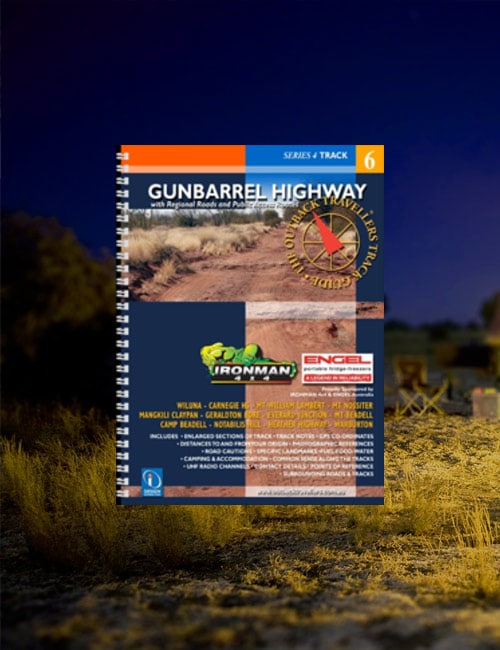
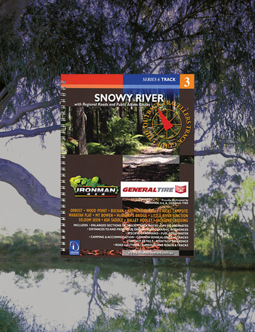
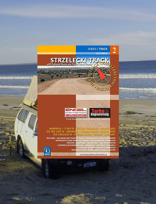
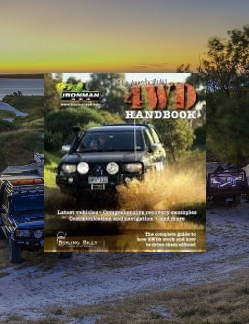
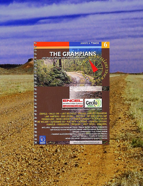
The Ironman 4x4 Atlas Australia is a large hard covered, spiral bound book using Westprint quality mapping making it very easy to read and ideal for trip planning.This region of Victoria is a 4wd experience that encompasses everything from hard clay tracks to very soft sand driving; with many bog holes to bees. Some areas are quite remote and you may not see anyone all day then be confronted with a convoy of 4wd’s from a local club or various families driving their way around the many tracks. There are several campsites, many with toilets and water set up by rangers and monitored on a regular basis. You will cross open plains, claypans, country roads to demanding sand dunes with the occasional small township within the vacinity. There are the salt lakes at Rocket Lake and the Pink Lakes, including Lake Albacutya that remind you of the dry, harsh environment that is typical of this region, not to mention several ancient lake beds and swamps you track through. This is an amazing location shrouded in wildflowers during spring and offering ecosystems unique with wildlife.Fourteen stripmaps break the Birdsville Track into identifiable sections giving travellers information on regional roads, fuel, water, landmarks, accommodation, GPS co-ordinates and much more. Each strip is accompanied by photographs of scenes along that section of track.An outback travellers track guide that covers the Davies Plain. The guide covers Omeo, Benambra, Native Dog Flat, Limestone Creek, The Poplars, Charlies Creek, Davies Plain Hut, Buckwong Creek, Tom Groggin, Mt Anderson and Mt Gibbo Scenic Reserve. The book utilises photos, track notes and mapping, as well as more detail for each track with relevant touring information to help inform any adventure in the Davies Plain region.The Great Central Road, now part of ‘The Outback Way’, not only offers travellers a short cut from the West to Central Australia but highlights the vast desert regions of this part of the country. Consisting mainly of Aboriginal Land, open country and spectacular mountain ranges, it has a rich heritage from early explorers such as Giles, Wells and Forrest and more recently with Len Beadell and his Gunbarrel Construction company. With the GCR slowly developing as a major pathway, having some sections of sealed road already in place, strategically located roadhouses enable welcome stops for fuel and supplies. It is a major trip with long distances and varied road conditions but one that opens access to many other roads and tracks that junction with the GCR.Not only is the Gunbarrel Highway a legendary track constructed by Len Beadell and his road crew, but is a challenge of endurance in its own right. Much of the track is heavily corrugated and a test bed for your 4wd’s nuts & bolts through vibration and harmonic torture. There are many areas with washouts, heavy sand, gravel and many outcrops of rocky sections. However, this is off-set by great bush camping at places like Geraldton Bore and Camp Beadell. As permits are not being granted by the Ngaanyatjarra Council for the abandoned section of the Gunbarrel, it is currently not accessible. Travel to and from the Great Central Road is via the Heather Highway, which also requires a permit to transit. The view from Mt Beadell is well worth the climb and houses a replica of Len Beadell’s theodolite at the lookout. Many 4 wheel drivers use the Gunbarrel as a short-cut from Central Australia to Wiluna and the Canning Stock Route and many want to drive it simply because of its reputation. What ever your reason, the Gibson desert is a unique environment that any serious traveller will just want to experience.The North Flinders Ranges is a spectacular region including the Vulkathunha-Gammon Ranges and Arkaroola-Mount Painter Wildlife Sanctuary. The hills are rugged and hold a mystical beauty surrounded by open and parched plains. With Hawker as the southern gateway and Blinman as the only small township within the ranges, several resorts and stations offer their hospitality to visitors including tours on private land. Areas like the Bunyeroo Valley and Geological Trail should not be missed, with Arkaroola offering some excellent 4wd tracks to explore. The area is rocky and dry but can tranform quickly with rain storms. There are many excellent camp locations and unique vistas to take in. Just give yourself some time to absorb the space as you travel about.The Otway Range is a beautiful natural forest & bushland paradise that has attracted 4 wheel drivers for decades. Although the tracks are not as hard core as they once were, they still provide great 4 wheel driving, particularly tracks like Denhams,Cowley and Harvey are well worth giving a go. Being close to major towns like Anglesea, Aireys Inlet, Lorne, Apollo Bay and Colac, makes venturing into this area advantageous. The range is cris-crossed with major roads that enable access to all these tracks, if gates are open. The pristine, dense vegetation of fern trees, eucalypts and lush undergrowth intersected with creeks, rivers and waterfalls offer weeks of exploration to experience and tests your ability at driving this magnificent area of Victoria.An outback travellers track guide that covers the Snowy River region. The guide covers Orbost, Wood Point, Buchan, Raymond Ck Falls, Hicks Campsite, Waratah Flat, Mt Bowen, McKillops Bridge, Little River Junction, Ash Saddle, Balley Hooley and Jacksons Crossing. The book utilises photos, track notes and mapping, as well as more detail for each track with relevant touring information to help inform any adventure in the Snowy River region.The Strzelecki Track was originally created by the cattle thief, Harry Redford, when he drove 1000 head of stolen cattle from Queensland along the Strzelecki Creek to Blanchewater Station, giving him the nickname, Captain Starlight. Although he was caught for his crime, he was not charged due to the audacious feat of blazing a new cattle stock route, making him a national hero of the day.The best-selling 4WD bible. This book explains how 4WDs work and how to drive them offroad.This book contains mapping of the Grampians and surrounding regions that is broken into stripmaps and accompanied with photos for traversing the tracks in the area.