
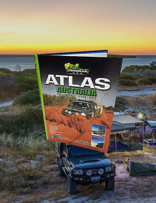
This book contains mapping of the Grampians and surrounding regions that is broken into stripmaps and accompanied with photos for traversing the tracks in the area.
The Grampians – Outback Travellers Map Guides
Product Description
The Grampians National Park, located in Western Victoria, is comprised of five main ranges: The Mt Difficult Range, Victoria Range, Serra Range, Wonderland Range and Mt William Range. It is a vast area offering the 4 wheel driver a maze of roads and tracks that criss-cross the mountains and valleys taking in waterfalls, creeks, mountain climbs, camping locations and scenic lookouts. Most of the tracks are easy driving amongst the fresh smells of pristine wilderness and variety of wildlife. It is a haven for tourists, often seen in unexpected areas, but for the most part, the tracks are yours to roam.
Bordered by the townships of Stawell, Great Western, Ararat, Dunkeld, Horsham, Pomonal, Dadswells Bridge, Hamilton and Moyston, you are never too far from civilisation. Halls Gap lies at the heart of the Grampians and is a mecca for travellers from all directions. Mt William is the highest point in the Grampians with an elevation of 1167m and is one of many lookouts offering excellent panoramic views.
This book contains mapping of the Grampians and surrounding regions that is broken into stripmaps and accompanied with photos for traversing the tracks in the area.
Reviews
There are no reviews yet.